
Weather Today August 24: Heavy Rain, Thunderstorms and Strong Winds Forecast Across Several States
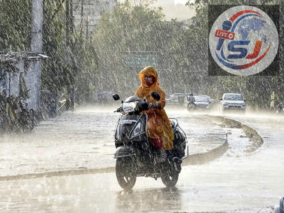
Weather Update Today, August 24, 2026: Monsoon conditions remain active across large parts of India, with heavy rainfall, thunderstorms and gusty winds expected in several regions. The forecast provided indicates widespread unsettled weather across northern, eastern, central and parts of southern India, with some locations potentially experiencing particularly intense spells.
People travelling today should keep a close watch on local weather advisories, especially in areas vulnerable to waterlogging, flash floods and landslides. Thunderstorms could also bring lightning and strong winds, increasing the risk of falling trees and disruption to road traffic.
Rain and Thunderstorms Expected Across Many States
According to the supplied forecast, rain and storm activity may affect parts of Uttar Pradesh, Bihar, Delhi, Rajasthan, Haryana, Punjab, Uttarakhand, Himachal Pradesh, Jammu and Kashmir, Jharkhand, West Bengal, Odisha, Chhattisgarh, Madhya Pradesh, Gujarat and Maharashtra.
Several northeastern states, including Assam, Tripura, Meghalaya, Nagaland, Sikkim and Mizoram, may also experience wet weather.
Parts of Tamil Nadu, Kerala and Andhra Pradesh could see rainfall and thunderstorms as well.
Conditions will not necessarily be equally severe everywhere. Rainfall intensity and wind speed can vary significantly between districts, even within the same state.
Strong Winds Could Accompany Thunderstorms
One of the key concerns in today's forecast is the possibility of powerful winds during thunderstorms.
According to the information provided, gusts in isolated locations could potentially reach 80-85 kmph during intense weather activity.
Such strong winds can damage weak structures, bring down tree branches and affect power lines. Farmers may also face risks if standing crops are exposed to heavy rain, hail or damaging winds.
People should avoid taking shelter beneath trees during thunderstorms and stay away from electricity poles and unsecured outdoor structures.
Why Is the Weather So Active?
The current spell of rain is being linked to multiple weather systems.
Moisture-laden winds from the Bay of Bengal are supporting rainfall over parts of eastern and central India. At the same time, upper-air cyclonic circulations over and around northern Haryana and eastern Uttar Pradesh are contributing to atmospheric instability.
When abundant moisture combines with favourable circulation patterns, thunderstorms and heavy rainfall can become more widespread.
As these systems evolve, the location and intensity of rainfall can also change quickly. This is why district-level forecasts and nowcasts become particularly important during active monsoon conditions.
Delhi Weather Today: Rain and Gusty Winds Possible
Delhi could experience another wet day on August 24.
The supplied forecast indicates the possibility of heavy rain, thunderstorms and strong winds, with gusts potentially reaching around 50-60 kmph during intense spells.
The expected temperature range is:
| Delhi Weather | Forecast |
|---|---|
| Maximum temperature | Around 34°C |
| Minimum temperature | Around 28°C |
| Conditions | Rain, thunderstorms and gusty winds |
Heavy showers can quickly cause water accumulation on low-lying roads and underpasses. Commuters should therefore allow additional travel time and avoid entering severely waterlogged stretches.
During lightning, people should move indoors rather than standing in open spaces or beneath isolated trees.
Uttar Pradesh Weather: Several Districts Could Receive Rain
A broad spell of unsettled weather is also expected across Uttar Pradesh.
According to the supplied forecast, areas including Meerut, Gautam Buddha Nagar, Ghaziabad, Moradabad, Aligarh, Agra, Jhansi, Mathura, Kanpur, Gorakhpur, Ayodhya, Prayagraj, Badaun, Azamgarh, Etawah, Lalitpur, Varanasi, Mahoba, Sonbhadra and Bijnor could experience rain or thunderstorms.
For Lucknow, temperatures are expected to remain around:
Maximum temperature: 33°C
Minimum temperature: 28°C
Thunderstorms can develop rapidly during the monsoon, so residents should keep track of short-duration local alerts in addition to the broader daily forecast.
Rajasthan Could Also See Active Monsoon Conditions
Parts of Rajasthan are also included in the wider rain and thunderstorm outlook.
Monsoon rainfall in the state can lead to rapid water accumulation, particularly after intense short-duration showers. Drivers should be careful on roads where visibility is reduced or water levels are difficult to judge.
People should not attempt to cross overflowing drains, causeways or flooded roads. Even apparently shallow flowing water can be dangerous for vehicles.
Farmers should also follow district-specific agricultural and weather advisories where thunderstorms, strong winds or heavy rainfall are forecast.
Heavy Rain Raises Landslide Risk in Hill States
The situation requires greater caution in Uttarakhand, Himachal Pradesh and Jammu and Kashmir, where prolonged or intense rainfall can destabilise slopes.
Landslides and falling rocks can block mountain roads with little warning. Local streams and rivers may also rise rapidly following heavy rainfall upstream.
Tourists travelling in hill regions should check road and weather conditions before beginning their journey and follow instructions issued by local authorities.
Unnecessary travel through landslide-prone routes should be avoided during periods of intense rainfall.
Lightning Could Be a Major Threat
Heavy rainfall itself is not the only weather hazard.
Thunderstorms can produce dangerous cloud-to-ground lightning. People working outdoors, particularly farmers, construction workers and others in open areas, should move to a safe enclosed structure when thunder is heard.
Avoid standing under trees, near metal fences, electricity poles or other tall isolated structures.
Water bodies should also be avoided during thunderstorms. Fishermen and people working near rivers, lakes or coastal areas should pay close attention to official local warnings.
Waterlogging May Disrupt Urban Traffic
Major cities could face traffic disruption if intense rainfall occurs over a short period.
Low-lying roads, underpasses and poorly drained stretches are generally the first areas to experience waterlogging. Reduced visibility can make driving more difficult, particularly during heavy showers.
Motorists should reduce speed, maintain additional distance from other vehicles and avoid driving through deep standing water.
If a road is severely flooded, turning back and choosing another route is safer than attempting to estimate the depth.
What to Do During Heavy Rain and Thunderstorms
With active monsoon weather expected in several regions, basic precautions can reduce risk. Check the latest district-level forecast before leaving home, avoid unnecessary travel during severe thunderstorms, and stay away from flooded roads, overflowing rivers and waterlogged underpasses.
During lightning, remain inside a substantial building whenever possible and avoid trees, open fields and electricity infrastructure. Travellers in hill states should also monitor landslide and road-closure information before starting their journey.
Monsoon Conditions Remain Active
The overall weather picture for August 24, 2026 points to an active monsoon day across many parts of India. Heavy rainfall, thunderstorms, lightning and gusty winds could affect several states, although the severity will vary considerably by location.
Delhi and several districts of Uttar Pradesh are among the areas where rain and thunderstorms are expected, while hill states need to remain alert to landslide-related risks.
Because thunderstorm forecasts can change rapidly, residents should rely on the latest official district-level alerts and nowcasts throughout the day rather than depending only on an early-morning forecast.