
Weather Today August 22: Heavy Rain Warning Across Several States, IMD Flags Thunderstorms and Strong Winds
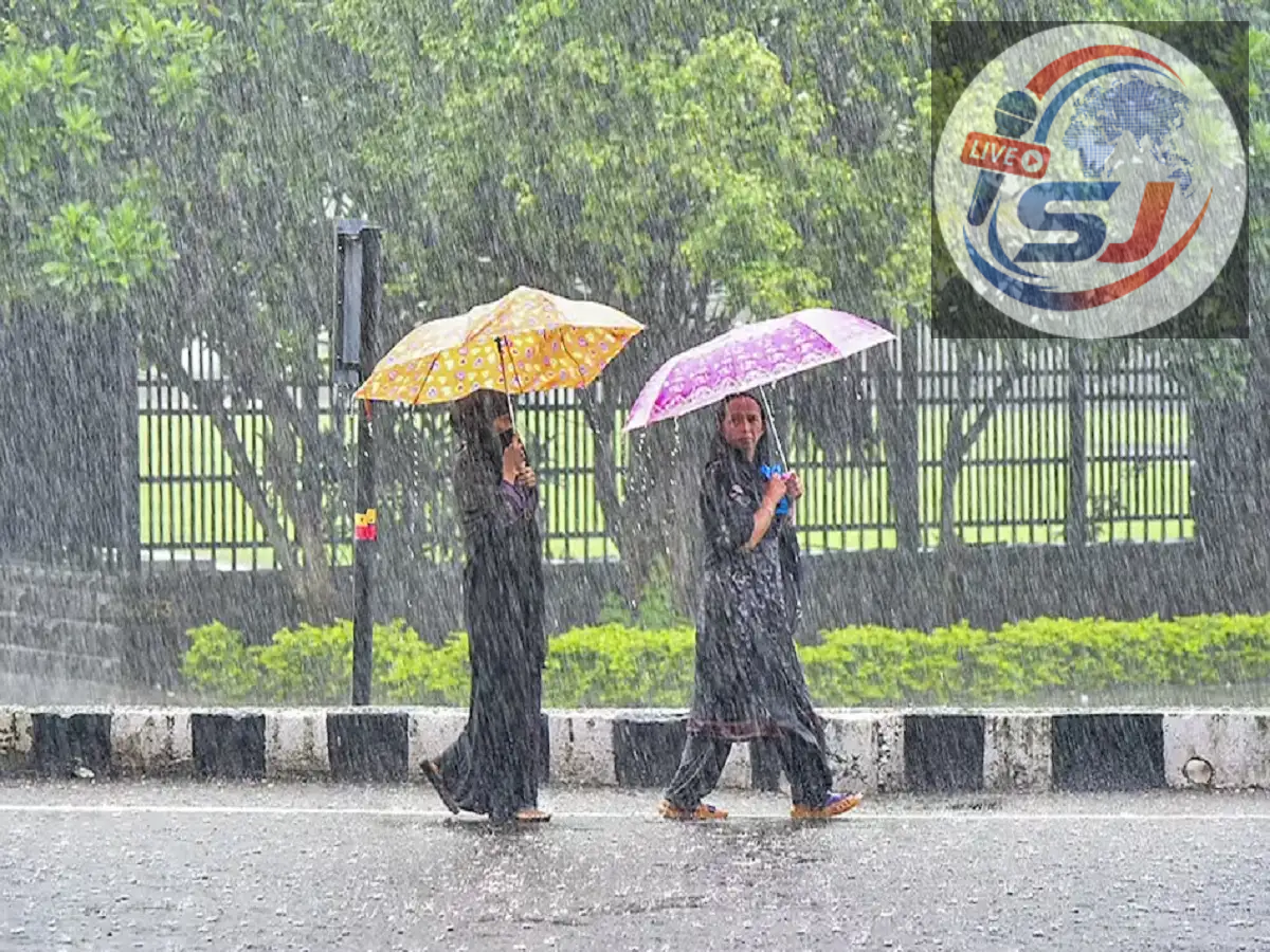
Weather Update August 22, 2026: Monsoon activity remains strong across large parts of India, with the India Meteorological Department (IMD) issuing heavy rainfall, thunderstorm and lightning warnings for several states on Saturday, August 22. Northwest, central, eastern and northeastern India are among the regions expected to see significant weather activity during the day.
The latest IMD warnings indicate that East Madhya Pradesh may receive very heavy rainfall at isolated places, while heavy rain is also expected in parts of Uttar Pradesh, Punjab, Haryana, Delhi, Himachal Pradesh, Jammu and Kashmir, Chhattisgarh and several other regions.
Thunderstorms accompanied by lightning and gusty winds are also possible in several areas. However, claims of widespread winds reaching 80-85 kmph should be treated cautiously, as the latest IMD warnings show wind speeds varying considerably from one region to another.
Why Is Rainfall Increasing Across India?
A number of active weather systems are supporting the ongoing spell of monsoon rain.
According to the latest IMD forecast, the monsoon trough is passing through parts of northern and central India, while a low-pressure system over northeast Madhya Pradesh and neighbouring areas is helping create favourable conditions for widespread rainfall.
An upper-air cyclonic circulation also persists over north Haryana and nearby regions. These systems are contributing to moisture accumulation and unstable weather conditions over several states.
As a result, rainfall accompanied by thunderstorms may continue across parts of northwest and central India during August 22.
East Madhya Pradesh Faces Very Heavy Rain Warning
East Madhya Pradesh is among the regions facing the strongest warning today.
IMD's August 22 subdivision-wise bulletin forecasts very heavy rainfall at isolated places over East Madhya Pradesh, along with thunderstorms and lightning. West Madhya Pradesh has also been placed under a heavy rainfall warning.
The weather department has indicated that heavy rainfall may continue over East Madhya Pradesh through the next few days, although the intensity is expected to vary.
Residents in low-lying areas should watch for local waterlogging, while people near streams and rivers should remain alert to sudden increases in water levels.
Delhi, Haryana and Chandigarh May Receive Heavy Rain
Delhi-NCR could also see another wet day.
IMD's latest warning for Haryana, Chandigarh and Delhi includes heavy rainfall for August 22.
Cloudy skies, periods of rain and thunderstorms may affect traffic movement in Delhi and adjoining areas such as Gurugram, Faridabad and Noida.
The source report estimated Delhi's maximum temperature at around 34°C, with the minimum near 28°C. Actual temperatures can vary depending on rainfall intensity and cloud cover through the day.
People travelling during peak rain hours should be prepared for slower road traffic and temporary waterlogging at vulnerable locations.
Uttar Pradesh Under Rain Alert
Parts of Uttar Pradesh are also likely to experience active monsoon conditions.
IMD has issued a heavy rainfall warning for East Uttar Pradesh on August 22.
The source report lists several districts where rainfall and thunderstorms may occur, including Ghaziabad, Meerut, Gautam Buddh Nagar, Aligarh, Mathura, Agra, Mirzapur, Sonbhadra, Gorakhpur, Prayagraj, Azamgarh, Varanasi, Jhansi and adjoining regions.
Rainfall intensity is unlikely to be identical across all districts, so residents should rely on local nowcasts for more precise short-term warnings.
Punjab and Himachal Pradesh Also on Alert
Punjab is also under a heavy rain warning for August 22, according to IMD.
Neighbouring Himachal Pradesh has also been included in today's heavy rainfall warning. This is particularly important for hilly districts, where prolonged or intense rain can increase the risk of landslides, falling rocks and road blockages.
Tourists and local residents travelling through mountain roads should check local advisories before starting long journeys.
Jammu and Kashmir Could See Rain, Thunderstorms
Jammu and Kashmir is expected to receive heavy rain at isolated places on August 22, along with thunderstorm and lightning activity.
Rainfall in hilly terrain can quickly affect road conditions, particularly in landslide-prone stretches. Authorities may issue local travel restrictions if rainfall becomes intense.
People heading toward mountainous or remote areas should check weather and road updates before travel.
Chhattisgarh May See Several Days of Rain
Chhattisgarh is likely to remain under an active monsoon spell.
IMD's warning issued on August 22 shows heavy rainfall and thunderstorm activity for the state not only today but also over the following days.
This suggests that the current rainy phase may continue rather than ending after a single day.
Farmers should monitor local advisories because persistent rain can affect agricultural activities, field drainage and harvested crops.
Northeast India Remains Wet
The northeastern states are also likely to continue receiving monsoon rainfall.
Assam, Meghalaya, Arunachal Pradesh, Nagaland, Manipur, Mizoram and Tripura are among the areas where rainfall may remain active.
The combination of mountainous terrain and sustained rainfall means parts of the Northeast can face increased risks of landslides, flash floods and rising river levels.
Residents in vulnerable areas should remain attentive to alerts issued by local authorities and disaster management agencies.
What About Karnataka and Tamil Nadu?
Southern India may also experience thunderstorms, though the rainfall pattern differs from northern and central India.
IMD has issued thunderstorm, lightning and strong surface wind warnings for parts of Karnataka on August 22.
Tamil Nadu and Puducherry have also been placed under thunderstorm and lightning warnings for today. Heavy rainfall warnings for Tamil Nadu become more prominent during August 24-25 rather than August 22.
Therefore, the claim that all of Kerala, Tamil Nadu and Karnataka face equally intense heavy rain today should not be generalised without checking district-level alerts.
Will Winds Really Reach 80-85 Kmph?
The source report mentions wind speeds potentially reaching 80-85 kmph in some places, but the latest available IMD warnings do not support such a figure as a widespread forecast across the listed states.
For example, IMD's Madhya Pradesh bulletin mentions thunderstorms with gusty winds of around 30-40 kmph at isolated places.
Wind speeds can become higher during individual severe thunderstorms, but such conditions are highly localised. People should therefore check IMD nowcasts rather than assuming that every warned state will experience 80-85 kmph winds.
Hill States Face Greater Landslide Risk
Heavy rainfall becomes especially dangerous in mountainous regions because it can loosen soil and destabilise slopes.
Himachal Pradesh, Uttarakhand and Jammu and Kashmir require particular caution during periods of intense monsoon rain.
Possible impacts include landslides, falling rocks, blocked highways, swollen streams and sudden flash floods.
Travellers should avoid unnecessary journeys through vulnerable hill routes during intense rainfall and follow instructions from local authorities.
Safety Advice During Heavy Rain and Thunderstorms
People living in areas under heavy rain warnings should avoid staying near swollen rivers, drains and other fast-flowing water bodies.
During lightning, it is safer to remain indoors and avoid sheltering under isolated trees. Farmers and outdoor workers should leave open fields when thunderstorms approach.
Drivers should reduce speed during intense rain because visibility can fall sharply and roads may become waterlogged.
Loose objects, temporary structures and weak tree branches can also become dangerous during gusty winds.
Rainfall May Continue Beyond August 22
The monsoon spell is expected to remain active in several regions over the coming days.
IMD's current warnings show continued rainfall risk across Madhya Pradesh, Chhattisgarh and some parts of eastern India after August 22.
The exact location and intensity of heavy rain can change quickly, especially during the monsoon season.
For Saturday, August 22, the major areas to watch include East Madhya Pradesh, Delhi-Haryana-Chandigarh, Punjab, East Uttar Pradesh, Himachal Pradesh, Jammu and Kashmir and Chhattisgarh, along with parts of eastern and northeastern India.
Residents should follow IMD district-level forecasts and short-term nowcasts for the most accurate information before travelling or planning outdoor activities.