
Weather Alert Today: Heavy Rain Likely Across 25 States, Strong Winds May Reach 65 Kmph
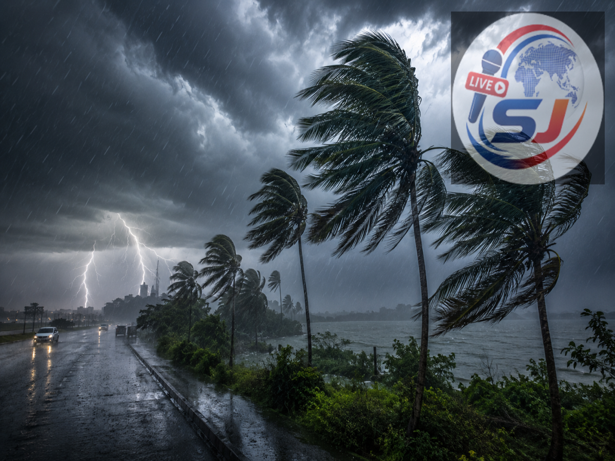
India is set for another active monsoon day on August 18, 2026, with widespread rainfall expected across large parts of the country. According to the weather forecast, several regions could experience heavy showers, thunderstorms, lightning and gusty winds, while mountainous areas may remain vulnerable to landslides.
Weather conditions are expected to remain unsettled from northern and central India to eastern, northeastern and southern states. Strong wind gusts could touch 65 kmph in some areas, particularly around coastal and eastern regions.
Residents in rain-affected areas should remain cautious, especially during thunderstorms and periods of intense rainfall.
Heavy Rain Expected Across Several States on August 18
Rainfall activity is expected across around 25 states and Union Territories. The affected regions include Delhi, eastern Uttar Pradesh, Bihar, eastern Rajasthan, eastern Madhya Pradesh, Chhattisgarh, Haryana, Punjab, Himachal Pradesh, Jharkhand, Jammu and Kashmir-Ladakh, West Bengal, Odisha, Arunachal Pradesh, Tamil Nadu, Andhra Pradesh, Telangana, Assam, Meghalaya, Nagaland, Manipur, Tripura, Sikkim and the Andaman and Nicobar Islands.
Some areas may receive intense spells of rain within a short period, increasing the possibility of waterlogging and disruption to road traffic.
Thunderstorms and lightning may accompany rainfall in several states, while landslide-prone areas in the hills could face additional risks.
Delhi Weather: Cloudy Skies With Rain Expected
Delhi is likely to witness generally cloudy weather on August 18. Light rainfall may occur in several areas during the morning, followed by another possibility of showers later in the day.
The weather could improve temporarily between rain spells, although cloud cover is expected to remain through much of the day.
People travelling during peak hours should keep possible rain-related traffic congestion and waterlogging in mind.
Uttar Pradesh Weather: Heavy Rain Warning for Several Districts
A large number of districts in Uttar Pradesh may experience heavy rainfall. These include Gautam Buddha Nagar, Ayodhya, Agra, Aligarh, Auraiya, Azamgarh, Badaun, Baghpat, Bahraich, Ballia, Banda, Barabanki, Bareilly, Basti, Bhadohi, Bijnor, Bulandshahr, Chandauli, Deoria, Etah, Etawah, Farrukhabad, Firozabad, Ghaziabad, Ghazipur, Gonda, Gorakhpur, Hamirpur, Hapur, Hardoi, Hathras, Jalaun, Jhansi, Kanpur, Lalitpur and Mahoba.
Lucknow may experience cloudy skies accompanied by thunderstorms and occasional rain. The temperature is expected to remain around 29°C at the higher end and 25°C at the lower end, with winds potentially reaching around 20 kmph.
Bihar Weather: Rain and Thunderstorms May Continue
Several parts of Bihar could receive significant rainfall along with thunderstorms. Areas under watch include Arrah, Araria, Aurangabad, Bhagalpur, Bodh Gaya, Buxar, Chhapra, Darbhanga, East Champaran, Gaya, Hajipur, Katihar, Motihari, Muzaffarpur and Nalanda.
Patna could also see spells of rain. The temperature in the state capital may remain between approximately 27°C and 31°C.
Wind speeds could reach around 50 kmph in some parts of Bihar during thunderstorm activity.
Rajasthan Weather: Rain and Gusty Winds Possible
Rainfall activity is also forecast across parts of Rajasthan. Phalodi, Churu, Chittorgarh, Ajmer, Bhilwara, Bharatpur and surrounding areas could receive light to heavy showers.
Thunderstorm-related winds may reach approximately 45-50 kmph in some places.
Jaipur is expected to remain relatively less affected, with temperatures likely to hover between 27°C and 34°C, although local weather conditions can change quickly during the monsoon season.
Madhya Pradesh: Flood Risk in 14 Districts
Eastern Madhya Pradesh could see particularly intense rainfall. A flood-related warning has been highlighted for parts of 14 districts, including Anuppur, Balaghat, Chhatarpur, Damoh, Dindori, Jabalpur, Katni, Mandla, Narsinghpur, Sagar, Seoni, Shahdol, Sidhi and Umaria.
Bhopal may also receive rainfall, with temperatures expected to range from roughly 24°C to 28°C.
Residents living near rivers, low-lying areas and drainage channels should be particularly careful during prolonged or intense rain.
Uttarakhand and Himachal Pradesh Face Rain and Landslide Risk
The Himalayan states could experience thunderstorms, heavy rainfall and strong winds.
In Uttarakhand, places including Nainital, Haridwar, Rishikesh, Pauri Garhwal, Chamoli, Tehri Garhwal, Almora, Pithoragarh and Bageshwar could see heavy rain accompanied by thunderstorms. Wind gusts may reach around 40-50 kmph.
Himachal Pradesh could also experience rain and thunderstorms in Hamirpur, Mandi, Bilaspur, Kangra, Kinnaur, Chamba, Sirmaur, Shimla and Solan.
Heavy rainfall in hilly regions can trigger landslides, falling rocks and temporary road closures, so travellers should check local conditions before heading into vulnerable areas.
Chhattisgarh and Jharkhand Could See Intense Weather
In Chhattisgarh, heavy rain and thunderstorms are possible in Balrampur, Bilaspur, Jashpur, Kabirdham, Korba, Korea, Mungeli, Surajpur and Surguja. Intense rainfall may also increase the possibility of local flooding.
Raipur could receive substantial rainfall, with temperatures expected to remain around 25°C to 28°C.
Jharkhand may experience thunderstorms, rain and strong winds in several districts. Wind speeds could climb to around 55 kmph in some areas.
West Bengal May See Winds Up to 65 Kmph
West Bengal is among the regions where particularly strong winds could accompany rainfall. A low-pressure system over the Bay of Bengal is expected to influence weather conditions across coastal and Gangetic parts of the state.
Heavy rain is possible in districts including Bankura, East Midnapore, Howrah, Jhargram, Nadia, North 24 Parganas, Purulia, South 24 Parganas and West Midnapore.
Wind gusts could reach approximately 55-65 kmph in some coastal and adjoining areas.
Fishermen have been advised to exercise caution and avoid venturing into rough sea conditions during periods of severe weather.
Monsoon Safety: What People Should Keep in Mind
With heavy rainfall, lightning and gusty winds possible across multiple regions, residents should closely follow local weather advisories. Avoid taking shelter under isolated trees during thunderstorms and stay away from waterlogged roads, overflowing drains and swollen rivers.
Farmers in areas facing intense rainfall should protect harvested crops and avoid applying fertilisers or pesticides during heavy showers. Produce that is ready for harvesting should be moved to a dry and secure location wherever possible.
The August 18 forecast indicates that the monsoon remains highly active across India. Since rainfall intensity can vary significantly even within the same district, people should continue checking the latest local alerts before travelling or planning outdoor activities.