
Weather Alert Today: Heavy Rain and Gusty Winds Forecast Across Several States on September 19
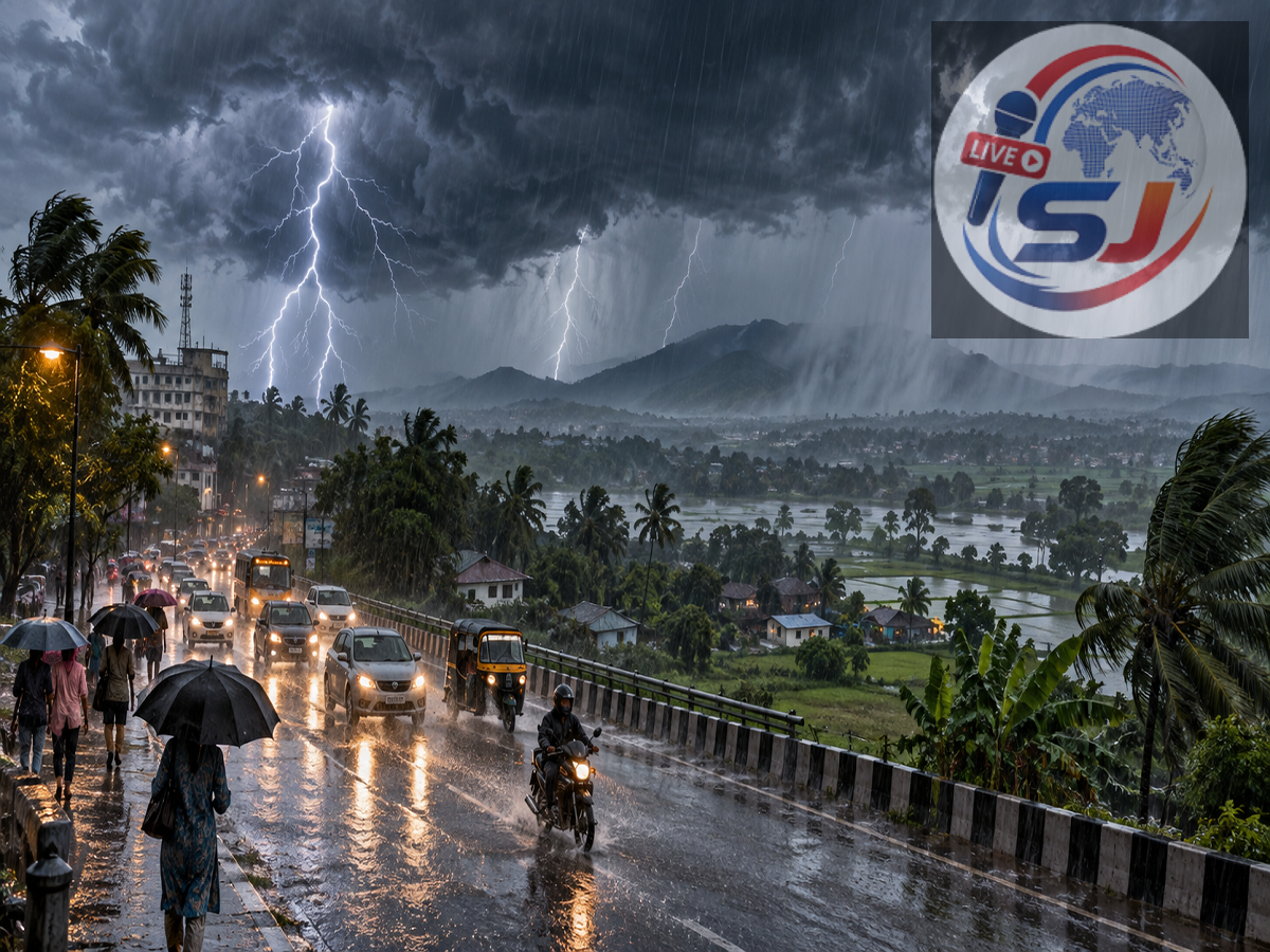
Rain, thunderstorms, lightning and strong winds may affect several parts of India on September 19, 2026, as the southwest monsoon approaches the beginning of its withdrawal phase. The weather report cited warnings across 20 states, with gusts potentially reaching 70–75 kmph in some areas.
Conditions are not expected to be equally severe everywhere. Some districts may receive heavy rain, while others could experience isolated showers, thunderstorms or mainly cloudy weather. Residents should follow district-level nowcasts because short-duration warnings can change quickly.
The India Meteorological Department had earlier indicated that monsoon withdrawal could begin from northwest India around September 19. However, low-pressure areas and cyclonic circulations may continue to cause rainfall before the retreat progresses. The Indian Express
Weather alerts reported across 20 states
The source report lists Uttar Pradesh, Delhi, Bihar, Rajasthan, Haryana, Punjab, Uttarakhand, Himachal Pradesh, Jammu and Kashmir, Jharkhand, West Bengal, Madhya Pradesh, Chhattisgarh, Odisha, Gujarat, Maharashtra, Tamil Nadu, Telangana, Andhra Pradesh and Kerala among the regions facing possible rain or thunderstorm activity.
Strong winds of up to 70–75 kmph may occur in the most intense storm cells, particularly over parts of central, eastern or southern India. This maximum wind estimate should not be interpreted as a uniform forecast for all 20 states.
Lightning could pose a serious risk in eastern India. Farmers and people working outdoors should move to a secure building as soon as thunder is heard and avoid fields, isolated trees and metal structures.
Delhi weather forecast
Delhi is expected to record a maximum temperature of around 34°C and a minimum of nearly 24°C. The supplied report mentions the possibility of light rain and winds of 20–30 kmph.
However, another forecast report citing the IMD indicates that Delhi-NCR could remain mostly dry, with partly cloudy skies and maximum temperatures between 34°C and 36°C. The Economic Times
Residents should therefore check the latest local nowcast rather than relying on a broad multi-state warning.
Rain and thunderstorms possible in Uttar Pradesh
Several districts of Uttar Pradesh may experience rain and thunderstorms. The areas named in the source include Muzaffarnagar, Meerut, Gautam Buddha Nagar, Aligarh, Hapur, Hathras, Moradabad, Sambhal, Bulandshahr, Etah, Mathura, Agra, Etawah, Sitapur, Auraiya, Kanpur, Bijnor, Mainpuri, Hardoi, Jhansi, Prayagraj and Gorakhpur.
Lucknow may record a maximum temperature of around 32°C and a minimum of 26°C. Rainfall distribution could vary considerably between western and eastern districts.
Bihar districts placed under rain watch
Thunderstorms, rain and gusty winds may affect parts of Bihar. Districts mentioned in the report include Gopalganj, Patna, Gaya, Vaishali, Muzaffarpur, Samastipur, Darbhanga, Madhubani, Supaul, Araria, Purnia, Katihar, Kishanganj, Bhagalpur, Khagaria, Munger and Begusarai.
Wind gusts could reach approximately 50 kmph in isolated areas. Patna is expected to record temperatures between 27°C and 33°C.
Jharkhand may see heavy showers
Rain and thunderstorms are possible in Giridih, Hazaribagh, Bokaro, Deoghar, West Singhbhum, East Singhbhum and Gumla. Winds could reach around 35–40 kmph during storm activity.
Ranchi may see a maximum temperature close to 30°C, with the minimum settling between 22°C and 23°C.
Uttarakhand and Himachal Pradesh under watch
Heavy rain and thunderstorms may occur in Nainital, Chamoli, Dehradun, Pithoragarh, Pauri Garhwal, Rudraprayag and Bageshwar. Gusts of 40–50 kmph are possible in some locations. Dehradun’s temperature could range from 19°C to 29°C.
In Himachal Pradesh, rain or storm activity is possible in Shimla, Mandi, Sirmaur, Solan, Kangra, Una and Kinnaur. People travelling through hilly areas should watch for reduced visibility, falling debris and landslides.
The source provides two conflicting sets of temperature figures for hill locations, including Manali and Shimla. These should be checked against the latest local forecast before publication or travel.
Jammu and Kashmir may receive rain and strong winds
Rainfall is possible in parts of Kulgam, Anantnag, Jammu, Ramban, Kishtwar, Baramulla and Rajouri. The report indicates that gusts may reach 60–65 kmph in isolated locations.
Srinagar may record a maximum of around 27°C and a minimum close to 12°C.
Punjab and Rajasthan forecast
Amritsar, Pathankot, Hoshiarpur, Bathinda, Kapurthala, Ludhiana, Moga and Fatehgarh Sahib may experience light rain or thunderstorms. The source suggests that winds could reach 65–70 kmph in some areas.
In Rajasthan, rain and storm activity may affect Dausa, Jhalawar, Kota, Ajmer, Tonk, Hanumangarh, Churu, Bikaner, Barmer, Karauli, Jodhpur and Jhunjhunu. Jaipur’s temperature is expected to remain between 23°C and 33°C.
Madhya Pradesh rain update
Rain or thunderstorms may occur in Umaria, Bhind, Katni, Indore, Balaghat, Ratlam, Jhabua, Mandla, Sidhi, Bhopal and Singrauli.
Bhopal is expected to record a maximum temperature of about 28°C and a minimum of 22°C.
Expected temperatures in major cities
| City | Maximum Temperature | Minimum Temperature |
|---|---|---|
| Delhi | 34°C | 24°C |
| Mumbai | 30°C | 26°C |
| Chennai | 34°C | 26°C |
| Kolkata | 34°C | 27°C |
| Lucknow | 32°C | 26°C |
| Patna | 33°C | 27°C |
| Ranchi | 30°C | 22°C |
| Bhopal | 28°C | 22°C |
| Jaipur | 33°C | 23°C |
| Shimla | 23°C | 14°C |
| Nainital | 23°C | 17°C |
Safety precautions during severe weather
People in affected districts should avoid standing under trees, near electricity poles or in open fields during lightning. Drivers should reduce speed during intense rain and avoid crossing flooded roads.
Farmers should secure harvested crops and move livestock to a safe shelter when strong winds or lightning are forecast. Travellers heading to mountainous regions should confirm road and weather conditions before departure.
Editorial clarification: The headline claim of heavy rain across 20 states “within seven hours” is based on the source report and could not be matched to a publicly accessible nationwide IMD nowcast during verification. Weather warnings are local and time-sensitive, so readers should consult the latest IMD district forecast before taking action.