
Weather Alert September 25: Heavy Rain Forecast Across 17 States, Strong Winds May Reach 85 Kmph
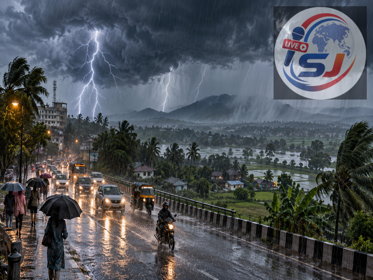
A spell of intense monsoon weather could affect large parts of India on September 25, 2026, with forecasts indicating heavy rainfall, thunderstorms and strong winds across several regions. According to the weather update cited in the report, as many as 17 states and regions could experience adverse conditions, while coastal and hilly areas may face additional risks.
The weather activity is being linked to a deep depression over the west-central and adjoining northwest Bay of Bengal, along with other atmospheric systems influencing northern and eastern India.
Strong winds could reach up to around 85 kmph in the most affected areas, according to the forecast cited in the source. Farmers, fishermen and people living in vulnerable locations have been advised to remain cautious and follow official weather advisories.
Heavy rainfall could also increase the possibility of waterlogging in low-lying areas, while landslides may become a concern in vulnerable hill regions.
Heavy Rain Forecast Across Several States
The September 25 forecast cited in the report covers parts of Uttar Pradesh, Bihar, Delhi, Rajasthan, Haryana, Uttarakhand, Punjab, Himachal Pradesh, Jammu and Kashmir, Odisha, Andhra Pradesh, Telangana, West Bengal, Jharkhand, Chhattisgarh and Madhya Pradesh.
However, rainfall intensity and wind conditions are expected to vary significantly from one location to another. Not every district within these states is expected to experience the same weather.
People should therefore follow district-level warnings and the latest official updates before making travel or outdoor plans.
Bay of Bengal System Could Bring Intense Weather
One of the main systems influencing the weather is a deep depression over the Bay of Bengal.
According to the forecast described in the source report, the system was expected to approach the north Andhra Pradesh-south Odisha coast near Kalingapatnam, between Visakhapatnam and Gopalpur.
Coastal areas could consequently experience heavy to very heavy rainfall, thunderstorms and strong winds.
Conditions over and around the Bay of Bengal could also remain rough, making official advisories particularly important for fishermen and others involved in marine activities.
Meanwhile, another cyclonic circulation was reported over northwest Uttar Pradesh and neighbouring areas at lower tropospheric levels, contributing to unstable weather across parts of northern India.
Delhi Weather on September 25
Delhi could see moderate rainfall accompanied by thunderstorms or gusty winds.
According to the forecast cited in the source, wind speeds may reach around 20-30 kmph in parts of the capital.
Delhi's maximum temperature is expected to be around 33°C, while the minimum could remain close to 23°C.
Residents should keep an eye on short-duration local warnings because thunderstorm activity can vary considerably across the National Capital Region.
Uttar Pradesh: Rain and Thunderstorms Across Several Districts
A widespread spell of rain is forecast across parts of Uttar Pradesh.
Districts mentioned in the weather alert include Meerut, Ghaziabad, Moradabad, Gautam Buddha Nagar, Aligarh, Agra, Mathura, Kanpur, Lucknow, Unnao, Balrampur, Ayodhya, Amethi, Fatehpur, Rae Bareli, Barabanki, Bahraich, Banda, Chitrakoot, Hardoi, Jalaun, Jhansi, Auraiya, Lalitpur, Deoria, Varanasi, Sonbhadra, Chandauli, Azamgarh, Gorakhpur, Maharajganj, Ghazipur and Mau.
Winds could reach around 45-50 kmph in affected locations.
The source forecast puts Lucknow's temperature at approximately 23°C maximum and 22°C minimum.
Bihar Weather: Heavy Rain Possible in Many Districts
Bihar could also experience a wet and stormy spell.
The alert covers parts of Rohtas, Siwan, Saran, Patna, Gaya, Jehanabad, Gopalganj, East Champaran, Bhojpur, West Champaran, Vaishali, Samastipur, Darbhanga, Madhubani, Purnia, Supaul, Saharsa, Katihar, Bhagalpur, Araria, Kishanganj, Munger, Begusarai, Lakhisarai and Khagaria.
Wind speeds of around 40-50 kmph are possible in affected areas.
Patna is forecast to record temperatures of approximately 26°C maximum and 24°C minimum.
Jharkhand Could See Strong Winds and Heavy Showers
Parts of Jharkhand could experience heavy rain and thunderstorms on September 25 and 26.
The areas mentioned include Ramgarh, Khunti, Chatra, Deoghar, Palamu, Dumka, Dhanbad, Giridih, Latehar, Ranchi and Bokaro.
Strong winds could reach 50-60 kmph in some places.
Ranchi's temperature is forecast at around 24°C during the day and 22°C at night.
Uttarakhand: Rain Raises Concern in Hill Areas
Heavy rainfall and thunderstorms are possible across several parts of Uttarakhand, including Nainital, Champawat, Pithoragarh, Rishikesh, Pauri Garhwal, Uttarkashi, Chamoli, Bageshwar and Tehri Garhwal.
Wind speeds may reach around 50 kmph.
With heavy rain possible in mountainous terrain, travellers should be cautious about landslide-prone roads and check local advisories before beginning a journey.
Dehradun could see a maximum temperature of around 28°C and a minimum of 20°C.
Himachal Pradesh and Jammu-Kashmir Weather
In Himachal Pradesh, the forecast highlights Chamba, Hamirpur, Solan, Bilaspur, Una, Kangra, Mandi and Kinnaur for possible heavy rain and thunderstorms. Gusty winds of around 40-50 kmph may occur.
Parts of Jammu and Kashmir, including Jammu, Poonch, Reasi, Ganderbal, Udhampur, Ramban, Shopian, Rajouri and Baramulla, could also receive rain accompanied by thunderstorms and gusty winds.
Srinagar is forecast to record a maximum temperature of around 26°C and a minimum of 13°C.
September 25 Temperature Forecast for Major Cities
| City | Maximum Temperature | Minimum Temperature |
|---|---|---|
| Delhi | 33°C | 23°C |
| Mumbai | 32°C | 28°C |
| Chennai | 34°C | 28°C |
| Kolkata | 29°C | 26°C |
| Lucknow | 23°C | 22°C |
| Patna | 26°C | 24°C |
| Ranchi | 24°C | 22°C |
| Bhopal | 28°C | 22°C |
| Jaipur | 33°C | 22°C |
| Shimla | 23°C | 14°C |
| Nainital | 21°C | 17°C |
These temperatures are forecasts and may change depending on local weather developments.
West Bengal Could Face Strong Winds
Parts of West Bengal may experience heavy rain and thunderstorms on September 25 and 26.
The forecast includes Jalpaiguri, Kalimpong, Bankura, Howrah, Alipurduar, Darjeeling, Cooch Behar, Durgapur, Birbhum and Kolkata.
Wind speeds could reach around 70 kmph in some affected locations.
Kolkata is expected to see a maximum temperature of around 29°C and a minimum of 26°C.
Rajasthan: Jaipur, Kota and Other Areas May Get Rain
Moderate to heavy rainfall is possible in several parts of Rajasthan, including Karauli, Jaipur, Udaipur, Churu, Baran, Sawai Madhopur, Bundi, Kota, Dausa, Bharatpur, Barmer, Bhilwara, Jaisalmer, Alwar, Jalore and Jhalawar.
Wind gusts could reach approximately 50 kmph in affected areas.
Jaipur's temperature is forecast at around 33°C maximum and 22°C minimum.
Punjab and Madhya Pradesh Weather
Parts of Punjab, including Sangrur, Hoshiarpur, Kapurthala, Chandigarh, Firozpur, Ludhiana, Amritsar, Gurdaspur and Bathinda, could experience heavy rainfall and thunderstorms. Gusts may reach around 60 kmph.
In Madhya Pradesh, rain and thunderstorms are forecast for parts of Indore, Bhopal, Damoh, Balaghat, Vidisha, Narmadapuram, Katni, Betul, Ratlam, Seoni, Mandla, Khandwa, Dewas, Harda and Jhabua.
Winds could reach around 55-60 kmph in some locations. Bhopal is expected to record a maximum temperature of 28°C and a minimum of 22°C.
Odisha, Chhattisgarh and Andhra Pradesh on Alert
The eastern and central parts of the country could experience some of the stronger weather associated with the Bay of Bengal system.
In Chhattisgarh, areas including Manendragarh, Surajpur, Bilaspur, Dhamtari, Janjgir, Korba, Raipur and Mahasamund could experience heavy rain, thunderstorms and gusts of around 65-70 kmph.
In Odisha, the alert covers areas including Jajpur, Keonjhar, Balangir, Bhubaneswar, Sundargarh, Bhadrak, Mayurbhanj, Puri and Balasore, with winds potentially reaching around 65 kmph.
Parts of Andhra Pradesh, including Guntur, Kakinada, Alluri Sitharama Raju, Eluru, East Godavari, Visakhapatnam, Vizianagaram and Nandyal, could also experience intense rainfall and strong winds. Gusts may reach around 75 kmph in some areas, according to the forecast cited in the report.
Farmers, Fishermen and Travellers Should Remain Cautious
With thunderstorms and heavy rain possible across a wide area, people should monitor the latest official forecasts rather than relying only on a national-level alert.
Farmers should take precautions to protect harvested crops and avoid unnecessary work in open fields during thunderstorms. People should avoid taking shelter under isolated trees when lightning is occurring.
Travellers in hill states should be particularly careful on landslide-prone roads, while fishermen should follow official sea-condition and fishing advisories before entering the Bay of Bengal.
Weather systems can strengthen, weaken or change direction quickly. Therefore, district-level IMD nowcasts and warnings issued closer to the time should take priority over earlier forecasts when planning travel or outdoor activities on September 25.