
Weather Alert October 23, 2026: Rain and Thunderstorms Forecast Across 11 States, Winds May Reach 75 Kmph
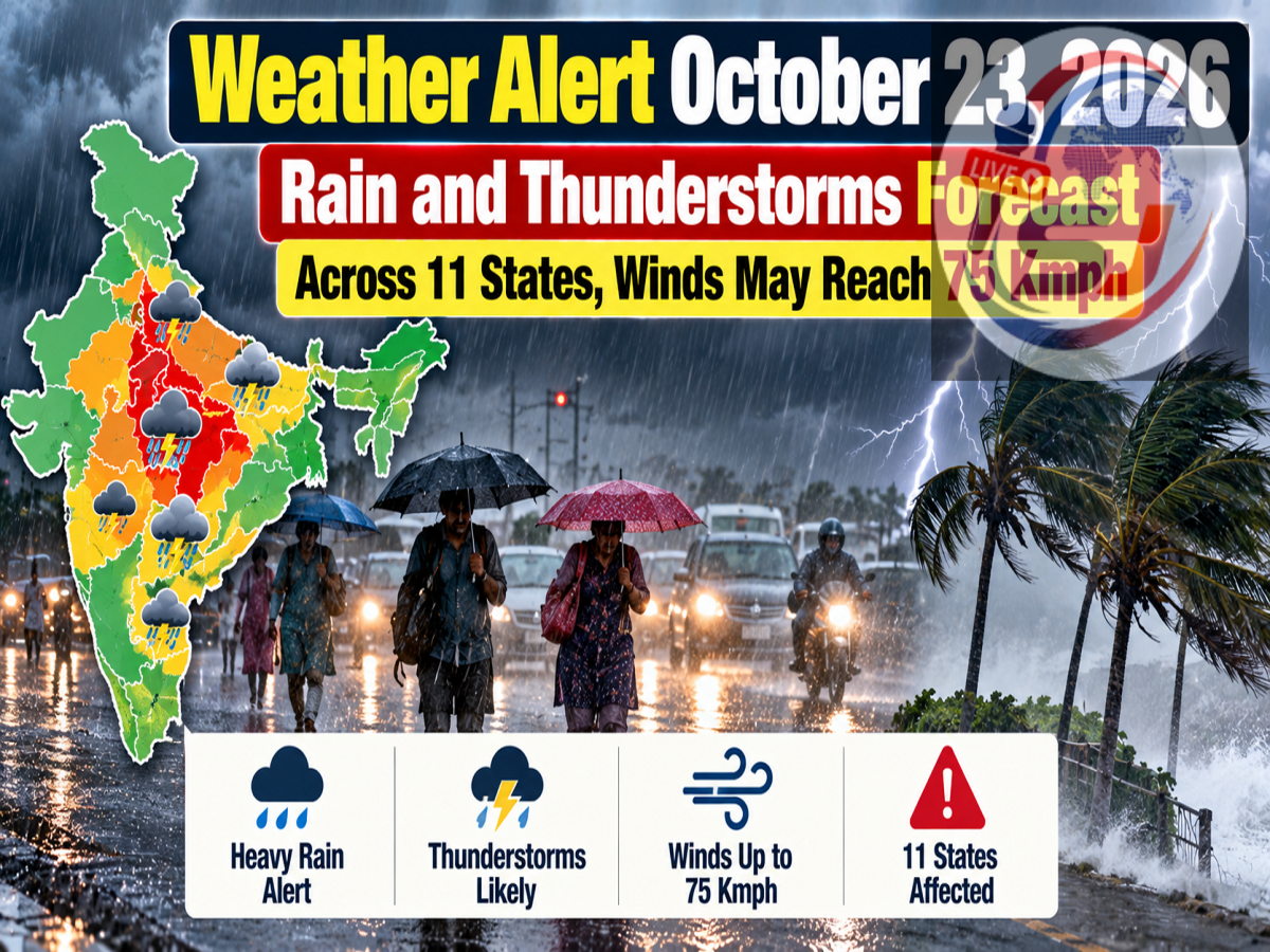
Weather Forecast for October 23, 2026: Several parts of India could experience unsettled weather on Friday, October 23, as rain-bearing weather systems and a possible western disturbance influence conditions across different regions.
A weather report published on October 22 has highlighted the possibility of heavy rainfall, thunderstorms and strong winds in parts of northern, eastern and southern India. It names 11 states and territories, including Delhi, Uttar Pradesh, Bihar, Punjab, Uttarakhand, Himachal Pradesh, West Bengal, Tamil Nadu, Karnataka, Kerala and Andhra Pradesh.
The report also mentions the possibility of wind gusts reaching 75 kilometres per hour in some affected areas.
However, rainfall intensity and wind speeds will vary considerably by location. A broad regional warning does not mean that every district in the listed states will experience heavy rain or severe thunderstorms.
Residents should consult the India Meteorological Department (IMD) for the latest district-specific alerts before travelling or making outdoor plans.
Weather Tomorrow: What Is Causing the Rainfall?
The southwest monsoon's withdrawal is typically accompanied by changing atmospheric conditions across India.
During this period, weather systems over the Bay of Bengal can influence rainfall across eastern and southern regions, while western disturbances may bring precipitation to parts of northern India and the Himalayan states.
The supplied report refers to a low-pressure area around the southwest Bay of Bengal and Tamil Nadu, along with a cyclonic circulation near the North Andaman Sea.
It also mentions a possible western disturbance affecting northern India.
Such systems can produce cloud development, rainfall and thunderstorms, depending on their position and intensity.
The reported risk of thunderstorms and strong winds makes it important to monitor short-range forecasts and official nowcast warnings.
October 23 Weather Alert: States Mentioned in the Forecast
The report identifies the following 11 states and territories as areas of concern:
| State or Territory | Reported Weather Risk |
|---|---|
| Delhi | Rain and gusty winds |
| Uttar Pradesh | Rain and thunderstorms in several districts |
| Bihar | Rain and thunderstorm activity |
| Punjab | Rain accompanied by strong winds |
| Uttarakhand | Heavy rain and gusty conditions in some areas |
| Himachal Pradesh | Rain, thunderstorms and possible higher-altitude snowfall |
| West Bengal | Rain, thunder and lightning |
| Tamil Nadu | Rain associated with Bay of Bengal weather systems |
| Karnataka | Rain in some areas |
| Kerala | Rain and possible thunderstorms |
| Andhra Pradesh | Rain and thunderstorm activity |
The report also discusses possible rainfall in Rajasthan, Madhya Pradesh, Jharkhand, Odisha, Chhattisgarh and Telangana.
These are reported regional forecasts, not a confirmation of identical IMD warning levels across all the listed areas.
Delhi Weather on October 23: Rain and Winds Possible
Delhi could experience cloudy conditions, rainfall and surface winds on October 23, according to the supplied forecast.
The predicted maximum temperature is approximately 31°C, while the minimum may remain around 19°C.
Rainfall could temporarily affect traffic movement and outdoor activities, especially if accompanied by thunderstorms.
Residents should be cautious around waterlogged roads, exposed electrical installations and trees during strong winds.
People travelling through Delhi-NCR should check the latest weather updates before leaving home.
Uttar Pradesh Weather: Rain Expected in Several Districts
Parts of Uttar Pradesh may witness light to moderate rainfall and thunderstorms on October 23.
The report names Ghaziabad, Meerut, Bareilly, Rampur, Pilibhit, Bijnor, Muzaffarnagar, Aligarh, Agra, Mathura, Raebareli, Kanpur, Banda, Varanasi, Gorakhpur, Deoria, Maharajganj and Mau among the potentially affected districts.
Wind speeds of approximately 40–50 kmph have been mentioned in the report for some locations.
In Lucknow, the forecast suggests a maximum temperature of 31°C and a minimum of 19°C.
Farmers should pay attention to local rainfall advisories, particularly where harvesting, drying or storage of agricultural produce is underway.
Bihar Weather: Thunderstorms and Rainfall Risk
Several districts of Bihar could experience rainfall accompanied by thunderstorms.
The report identifies East Champaran, West Champaran, Gaya, Patna, Samastipur, Darbhanga, Madhubani, Supaul, Saharsa, Bhagalpur, Purnia, Katihar, Banka, Araria, Madhepura, Muzaffarpur and Sitamarhi.
Patna's maximum temperature is estimated at around 31°C, with the minimum near 20°C.
The main concern during thunderstorm activity is lightning, particularly for people working in open fields or travelling through exposed areas.
Residents should avoid sheltering beneath isolated trees during lightning and follow local disaster management advisories.
Jharkhand Weather: Rain and Gusty Winds on October 23–24
Jharkhand is also mentioned in the report as a region where rain and thunderstorm activity could occur over October 23 and 24.
Potentially affected locations include Ranchi, Dhanbad, Deoghar, Jamshedpur, Giridih, Seraikela, Dumka, Khunti, Gumla and East Singhbhum.
The report suggests wind gusts of 40–50 kmph in some areas.
Ranchi's temperature is expected to range between approximately 17°C and 27°C.
People should watch for short-duration intense showers, reduced visibility and lightning during thunderstorms.
Uttarakhand Weather: Rain and Strong Winds in Hill Districts
Uttarakhand could experience rain and gusty winds, particularly in the hill districts.
The report mentions Dehradun, Nainital, Haridwar, Tehri Garhwal, Pauri Garhwal, Pithoragarh, Chamoli, Champawat, Bageshwar and Rishikesh.
Wind speeds of around 60–65 kmph are mentioned for some areas.
Dehradun's predicted maximum temperature is approximately 26°C, with a minimum near 15°C.
Heavy rainfall in mountainous terrain can increase the risk of falling rocks, landslides and difficult road conditions.
Travellers heading towards hill stations or pilgrimage destinations should check road conditions and official weather advisories.
Himachal Pradesh Weather: Rain, Storms and Cold Conditions
Rainfall and thunderstorms are also reported as possible in parts of Himachal Pradesh.
The areas mentioned include Mandi, Chamba, Kinnaur, Kullu, Solan, Bilaspur, Hamirpur and Kangra.
The report refers to wind speeds of 40–50 kmph.
Higher-altitude locations could experience particularly cold conditions, with snowfall possible where temperatures and precipitation support it.
However, the precise altitude and locations at risk of snowfall require confirmation through official meteorological bulletins.
Visitors should avoid relying on statewide forecasts when planning mountain travel, because conditions can change significantly over short distances.
Jammu and Kashmir Weather: Rainfall in Several Districts
The report also mentions possible rain and stormy conditions in parts of Jammu and Kashmir.
Locations listed include Udhampur, Pulwama, Kishtwar, Budgam, Ganderbal, Ramban, Bandipora, Baramulla and Kathua.
Srinagar's predicted maximum temperature is around 21°C, while the minimum could be approximately 8°C.
Rainfall may affect visibility and travel conditions in mountainous areas.
Travellers should monitor official updates on roads, passes and weather-related restrictions.
West Bengal Weather: Thunderstorms and Lightning Possible
Rain and thunderstorms are mentioned in the forecast for parts of West Bengal, including Hooghly, Malda, Howrah, Kolkata, North 24 Parganas, Nadia, Darjeeling, Alipurduar and Kalimpong.
The report suggests wind speeds approaching 50 kmph in some locations.
Kolkata's maximum temperature is estimated at 32°C, while the minimum could remain around 23°C.
Lightning is an important concern during thunderstorm activity, particularly for people working outdoors.
Punjab Weather: Rain and Gusty Winds Forecast
The report identifies Pathankot, Barnala, Patiala, Ludhiana, Gurdaspur, Jalandhar and Chandigarh among the locations where rainfall and thunderstorms are possible.
Winds of approximately 35–40 kmph are mentioned.
However, local conditions may vary, and residents should check updated forecasts before assuming that heavy rainfall will affect their area.
Rajasthan Weather: Jaipur, Ajmer and Other Districts Mentioned
The supplied forecast suggests possible rainfall or thunderstorms in Jaipur, Bharatpur, Bhilwara, Bundi, Bikaner, Ajmer, Sikar, Udaipur and Pali.
Wind speeds of 20–30 kmph are mentioned in the report.
Jaipur's predicted maximum temperature is approximately 32°C, while the minimum is around 20°C.
However, the available reports do not establish that all these districts are under an official heavy-rain warning for October 23.
Madhya Pradesh Weather: Rain Possible in Several Areas
The report mentions Indore, Bhopal, Dhar, Vidisha, Katni, Narmadapuram, Morena, Sheopur, Ujjain, Mandsaur, Ashoknagar, Neemuch and Agar Malwa.
Winds of around 30–40 kmph are reported as possible in some areas.
Bhopal's maximum temperature is estimated at 31°C, with a minimum near 18°C.
Southern India: Heavy Rainfall Is a Major Concern
Recent weather reporting indicates that the strongest and more consistently reported heavy-rainfall risk for October 23 is concentrated in parts of southern India.
Tamil Nadu, Kerala, Mahe, Lakshadweep, Karnataka and parts of Andhra Pradesh have been identified in recent forecasts as areas where significant rainfall may occur.
Residents should remain alert to local flooding, waterlogging and lightning, especially in districts experiencing repeated rainfall.
Major City Temperature Forecast for October 23, 2026
| City | Maximum Temperature | Minimum Temperature |
|---|---|---|
| Delhi | 31°C | 19°C |
| Mumbai | 36°C | 27°C |
| Chennai | 28°C | 26°C |
| Kolkata | 32°C | 23°C |
| Lucknow | 31°C | 19°C |
| Patna | 31°C | 20°C |
| Ranchi | 27°C | 17°C |
| Bhopal | 31°C | 18°C |
| Jaipur | 32°C | 20°C |
| Shimla | 21°C | 9°C |
| Nainital | 21°C | 12°C |
These are forecast estimates from the supplied report, not observed temperatures. Actual readings may differ.
Important Clarification on the 75 Kmph Wind Warning
Although the original report mentions winds reaching 75 kmph, the available sources do not confirm that this speed applies to all 11 states on October 23.
A separate, more recent weather report indicates that northern and central India may remain largely dry, while heavier rainfall is concentrated in southern states. It also refers to stronger winds potentially affecting eastern coastal areas later in October.
Therefore, readers should not interpret the 75 kmph figure as a nationwide wind forecast for Friday.
Safety Precautions During Heavy Rain and Thunderstorms
People in areas experiencing thunderstorms should avoid open fields, rooftops and sheltering beneath isolated trees during lightning.
Drivers should reduce speed during intense rainfall and avoid crossing flooded roads.
Residents in mountainous regions should check for landslide warnings and travel restrictions.
Farmers should secure harvested produce, protect agricultural equipment and monitor local forecasts before irrigation or fieldwork.
For verified forecasts, district-level warnings and weather nowcasts, visit the official IMD website at https://mausam.imd.gov.in/.
Final Word
Weather conditions on October 23, 2026, could remain unsettled across several parts of India, but the risk of heavy rainfall is not uniform.
Recent forecasts particularly highlight significant rainfall risks in parts of southern India, including Tamil Nadu, Kerala and Karnataka.
The broader warnings involving northern and eastern states, along with the reported 75 kmph wind speed, require careful interpretation against the latest official district-level bulletins.
Residents should check the latest IMD forecast before travelling and follow local warnings during thunderstorms, lightning or heavy rainfall.
Disclaimer: Weather forecasts are subject to change. Statewide and city-level estimates should not be treated as substitutes for official district-specific IMD warnings.
I can also set up a daily morning weather-alert summary for the states you cover, highlighting only significant IMD warnings.