
Heavy Rain Forecast: These States May See Downpours and Thunderstorms Until September 14
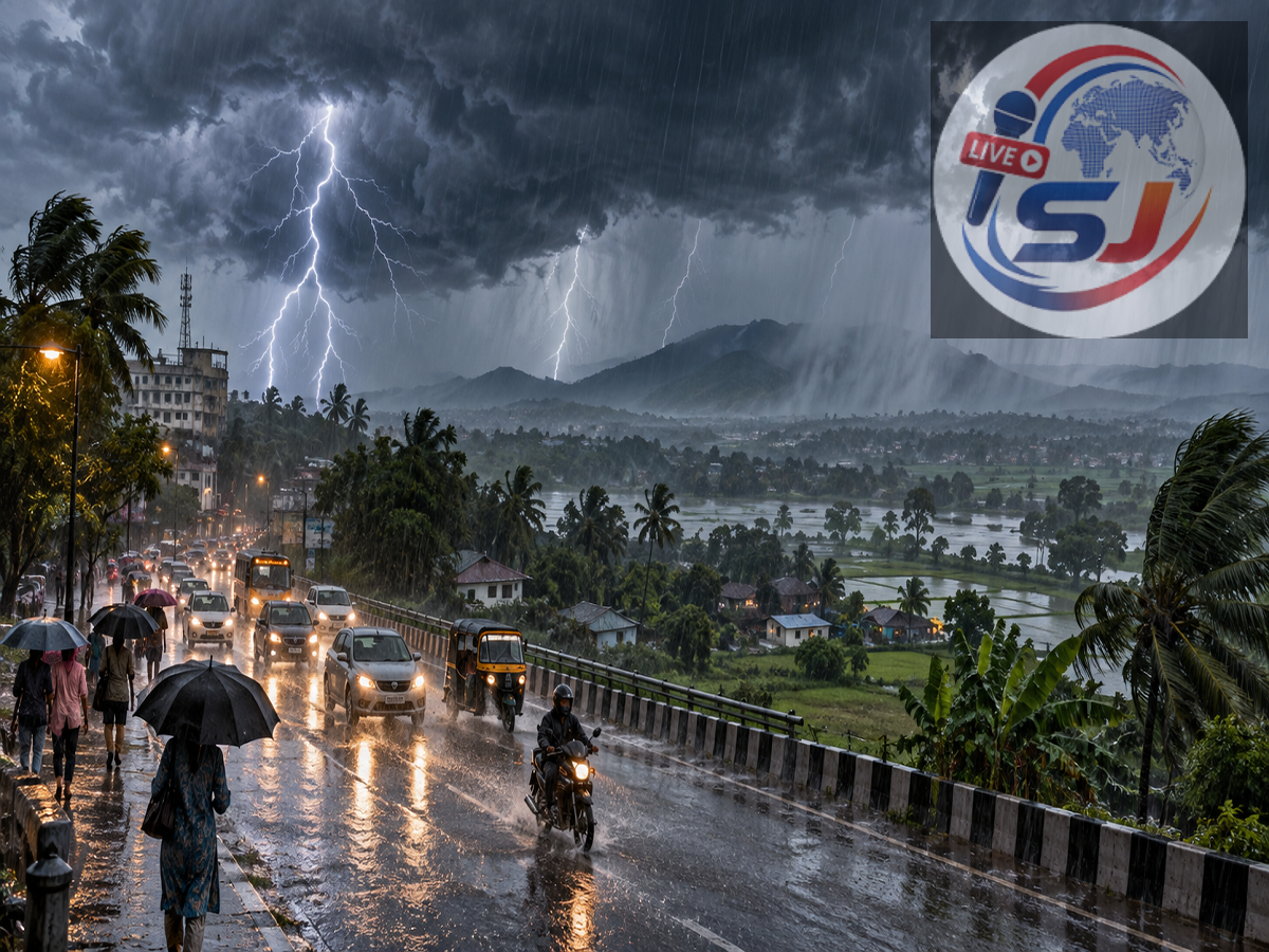
Several parts of India may experience another spell of intense rain, thunderstorms and lightning before the southwest monsoon begins its withdrawal phase. The latest forecast points to widespread rainfall across northern, central, eastern, western and northeastern India between September 10 and September 14.
Weather conditions are being influenced by an active monsoon trough and cyclonic circulations over parts of eastern Uttar Pradesh, Bihar, Haryana and adjoining regions. These systems could draw moisture into several states and create favourable conditions for moderate to heavy showers.
Residents should remember that the intensity and location of rainfall can change at short notice. District-level alerts issued by the India Meteorological Department and instructions from local authorities should therefore be checked before travelling.
Delhi-NCR May Receive More Rain
Delhi and neighbouring parts of the National Capital Region could witness cloudy skies, intermittent rain and isolated thunderstorms during the coming days. Rainfall may not be uniform across the region, meaning some locations could receive a short but intense spell while nearby areas record only light showers.
Waterlogging is possible in low-lying neighbourhoods following heavy rain. Commuters should allow additional travel time and monitor traffic advisories, especially during the morning and evening rush hours.
Thunderstorms may also be accompanied by gusty winds. People should avoid standing under trees, temporary structures or electricity poles when lightning activity is reported.
Heavy Rain Likely in Himachal Pradesh and Uttarakhand
The western Himalayan region could see a noticeable increase in rainfall toward the weekend. Heavy rain and thunderstorms are forecast for parts of Himachal Pradesh on September 13 and 14.
Uttarakhand may experience an extended wet spell from September 10 to September 14, with isolated areas at risk of receiving heavy rain.
Continuous rainfall in hill districts can lead to landslides, falling rocks, overflowing streams and temporary road closures. Travellers heading to mountainous areas should check road and weather conditions before beginning their journey. Trekking near swollen rivers or unstable slopes should be avoided during adverse weather.
Rainfall Alert for Bihar, Jharkhand and Odisha
Eastern India is also expected to remain active during the forecast period. Parts of Bihar may receive heavy rainfall between September 10 and September 13. Jharkhand could witness stronger spells from September 12 to September 14.
Odisha may receive widespread rain for several days beginning September 10, with very heavy rainfall possible at isolated locations. Thunderstorms and lightning could accompany the rain in some districts.
Farmers are advised to protect harvested crops, fertilisers and agricultural equipment from water exposure. Drainage channels around fields should be cleared wherever possible to prevent water accumulation.
Residents in flood-prone areas should follow local advisories and avoid crossing waterlogged roads or overflowing causeways. The depth and speed of moving water can be difficult to judge, even on familiar routes.
Madhya Pradesh and Chhattisgarh Could See Strong Showers
Central India may also experience renewed monsoon activity. Madhya Pradesh and Chhattisgarh are expected to receive heavy showers around September 13 and 14.
Rainfall may be accompanied by thunderstorms and lightning in isolated areas. Short periods of intense rain could cause urban waterlogging and reduce visibility on highways.
Motorists should slow down, maintain a safe distance from other vehicles and avoid driving through deeply flooded stretches. Electricity disruptions may also occur in areas affected by strong winds or lightning.
West Bengal, Maharashtra and Vidarbha on Alert
Rainfall is likely to intensify across parts of West Bengal from September 11 to September 14. Some districts may record heavy showers, while thunderstorms could affect adjoining areas.
In Maharashtra, Konkan, Marathwada and the Vidarbha region may witness rain, gusty winds and lightning during the coming days. The intensity will vary by district, so residents should follow regional nowcasts rather than relying only on a statewide forecast.
Konkan’s coastal geography can produce sharp local variations in rainfall. Heavy showers over a short duration may cause waterlogging in urban areas and affect road and rail movement.
Northeast India to Remain Wet
Rainfall is also expected across the northeastern states. Assam and Meghalaya may experience heavy showers until September 12, while Arunachal Pradesh could remain under a rainfall alert from September 10 to September 14.
Manipur, Mizoram, Nagaland and Tripura may receive heavy rain at isolated places over the next few days. In hilly areas, prolonged rainfall can increase the danger of landslides and road blockages.
People living close to rivers, steep slopes or vulnerable embankments should remain alert to warnings issued by district administrations and disaster-management agencies.
State-Wise Rain Forecast at a Glance
| Region or state | Period of possible heavy rain |
|---|---|
| Uttarakhand | September 10–14 |
| Bihar | September 10–13 |
| Odisha | From September 10 for several days |
| West Bengal | September 11–14 |
| Assam and Meghalaya | Until September 12 |
| Arunachal Pradesh | September 10–14 |
| Jharkhand | September 12–14 |
| Himachal Pradesh | September 13–14 |
| Madhya Pradesh | September 13–14 |
| Chhattisgarh | September 13–14 |
| Maharashtra regions | Rain and thunderstorms during the coming days |
| Other northeastern states | Heavy rain possible over the next few days |
These dates describe the broader forecast window. Not every district in a listed state will necessarily receive heavy rainfall on every day.
Is the Monsoon About to Withdraw?
The southwest monsoon normally begins retreating from northwestern India around the middle of September. However, the actual withdrawal depends on atmospheric conditions and must be officially declared by the weather department.
The approaching withdrawal period does not mean rain stops immediately across India. Monsoon systems can remain active in central, eastern and southern regions even after withdrawal begins in the northwest.
The rainfall pattern is expected to ease in some areas after the beginning of next week, but residents should continue monitoring daily forecasts.
Safety Advice During Heavy Rain and Lightning
People in affected areas should avoid unnecessary travel during intense rainfall. Electrical appliances should be unplugged during severe thunderstorms, and outdoor workers should move to a safe building when lightning is nearby.
Mobile phones should remain charged, emergency numbers should be kept accessible and important documents should be stored in waterproof covers in flood-prone locations.
Disclaimer: Weather forecasts are subject to rapid changes. Rainfall dates and intensity may vary between districts. Readers should check the latest IMD bulletin and advisories from their local administration before travelling or making weather-sensitive plans.